
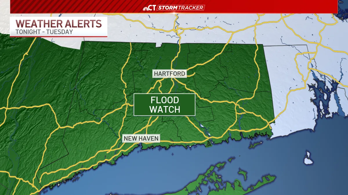
Flood Watch issued ahead of rain late Sunday through Tuesday
After nasty storms rolled through parts of Connecticut on Saturday, temperatures are much cooler today with highs in the 70s and 80s.
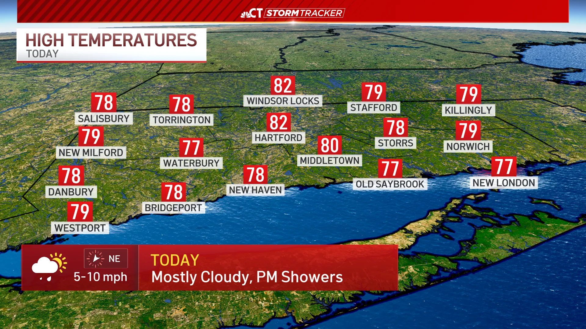
Skies are mostly cloudy through Sunday before showers and a few thunderstorms move back into the region this afternoon and evening.
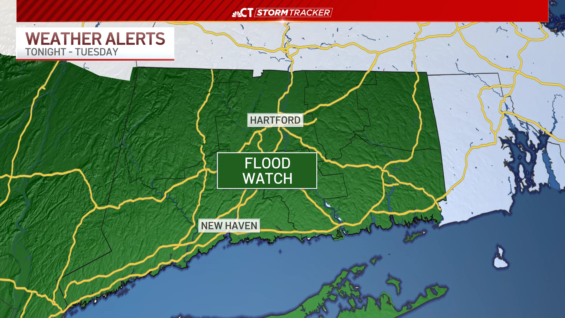
A Flood Watch is in effect across Connecticut starting tonight and through Monday and Tuesday.
Widespread rainfall totals through Tuesday will likely fall between 2-4″ with a few localized amounts closer to 6″ possible.
Periods of rain are likely through a cooler start to the week with highs in the 60s and 70s on Monday and Tuesday.
We’ll finally dry out by Wednesday before lifting into the upper 80s on Thursday.







From breaking news and local politics to art exhibitions, live music, high school sports, small businesses, and cultural events, we celebrate the people and places that make Connecticut unique.