Warm Monday, tracking possibly dangerous heat for later in the week
Happy Monday! We have a warm day on tap and our StormTracker meteorologists are tracking possibly dangerous heat for later in the week.
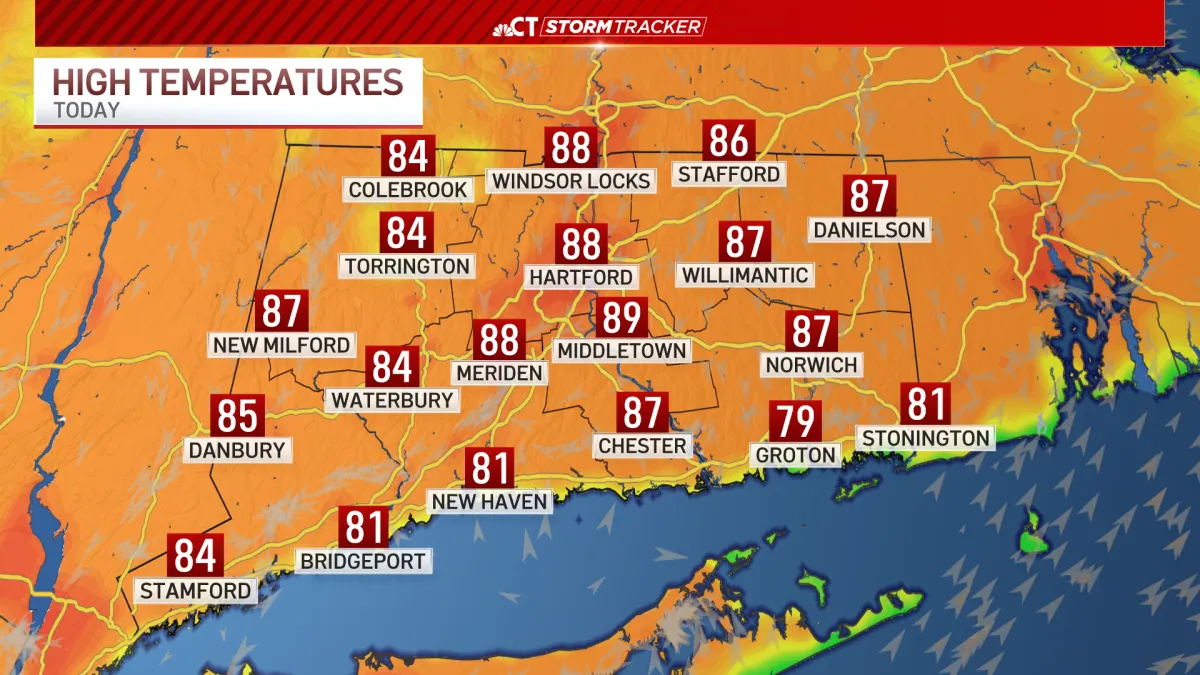
Thick fog in the morning will give way to abundant sunshine. It will be a top 10 summer day on Monday with highs in the upper 80s.
Intense heat and humidity will race in as the week goes on and a few thunderstorms are possible later Tuesday and early Wednesday.
Dangerous heat is possible by the middle and end of the week. An Extreme Heat Watch has been issued for most of the state for Wednesday through Friday.
High temperatures will be between 95 and 100 with the feels like temperatures between 100 and 110.
The feels like temperatures of 100 to 110 will continue into the weekend.
Major to extreme heat risk is possible. What that means is it will effect everyone that is outdoors and cannot stay hydrated.
As we look to the holiday weekend, scattered showers and storms seem likely in the afternoon Friday through Sunday.


From breaking news and local politics to art exhibitions, live music, high school sports, small businesses, and cultural events, we celebrate the people and places that make Connecticut unique.